|
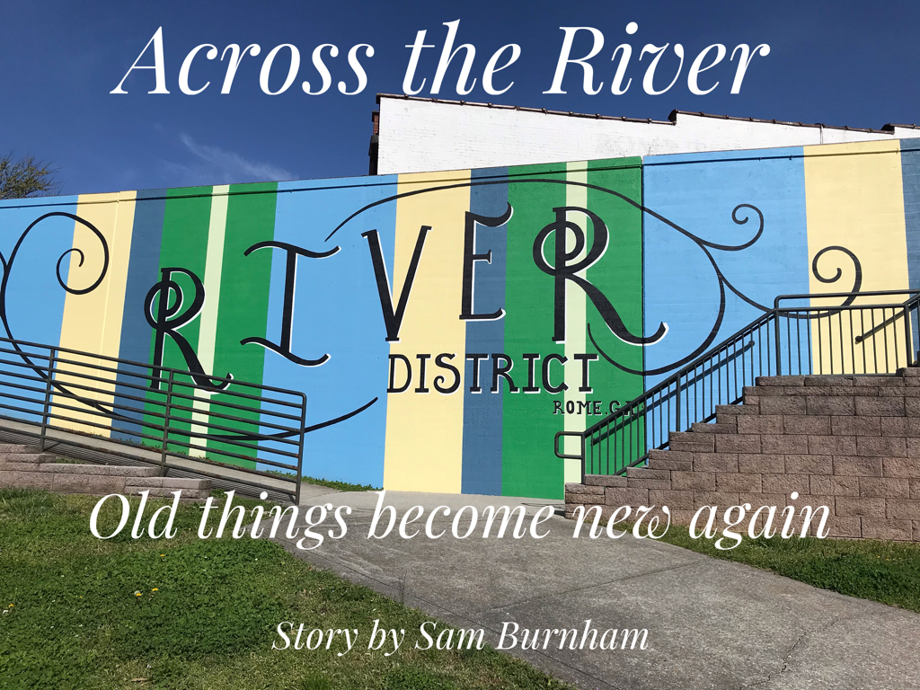
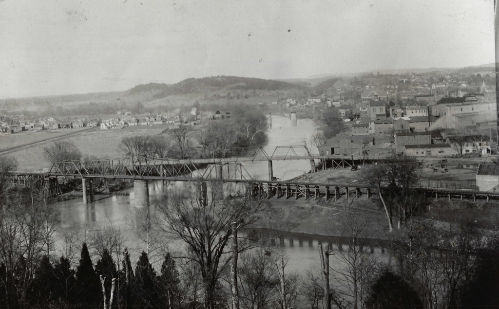
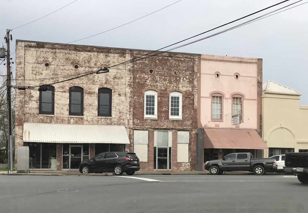
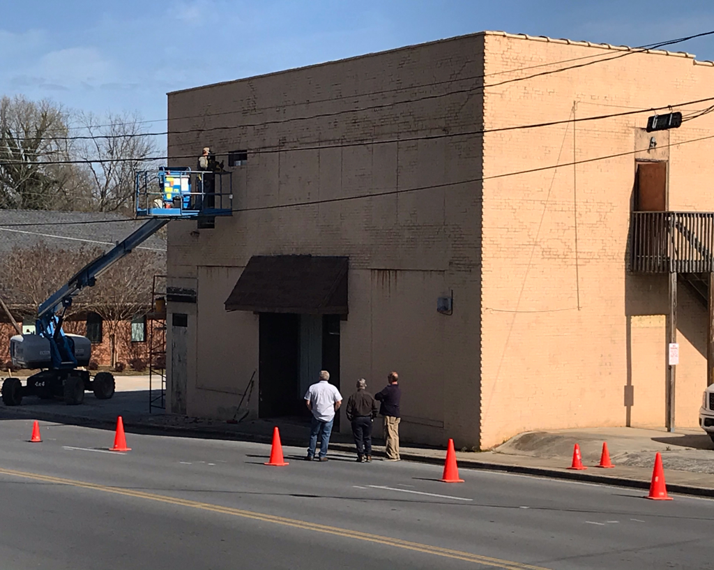
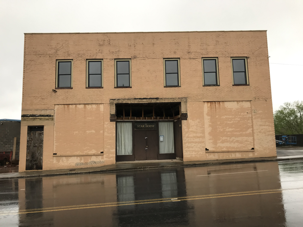
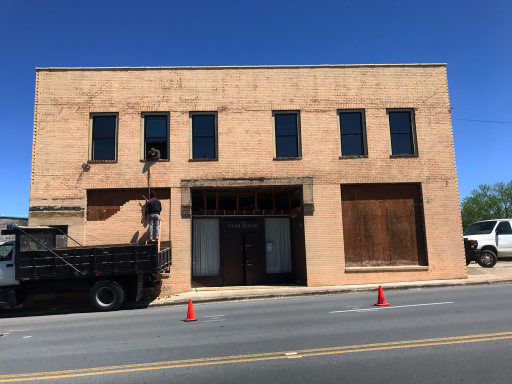
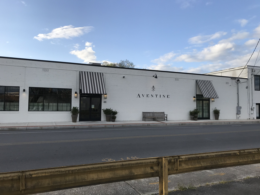
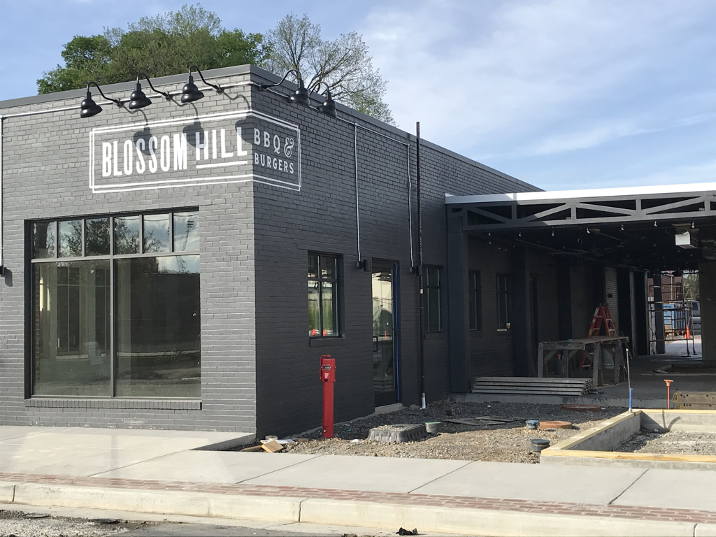
Sam Burnham, Curator (See the story about potential changes to a bridge connecting this district to Broad Street here.) The Oostanaula isn’t a swift moving river. It’s not particularly deep. It makes one last bend as it approaches downtown Rome just before it meets the Etowah to form the Coosa. Inside that bend lies a stretch of land that has a history, and now a future, of its own. Prior to 1939, everything that happened on the west bank of the Oostanaula depended on one all-powerful variable - the water level of the river. 1939 was the year that the Army Corps of Engineers completed the levee that now keeps the river in its channel even through the rainiest of days. Before construction of the levee, the river was prone to come up over the bank and flow over the ground. It was not unheard of for the land to be several feet underwater. If we go back two centuries, this land was owned by John Ross, a chief of the Cherokee Nation. He had a home on this land. All of his property was seized from him as part of the Cherokee removal. With the Indian (who was of Scottish descent) gone, the land was available to development by white settlers. The land would become the town of Desota, distinctively separate from Rome which was growing across the river. Through the tenure and demise of Desota, this land was inhabited by gritty, hardy people. Homes in the area were built on six foot tall masonry piers to keep them above the floodwaters. Loggers floated felled trees from upriver to a sawmill that produced lumber. The sawmill work helped earn a section of this area the nickname "Beaverslide." Even after Rome annexed the land it remained a blue collar area. The levee opened the area for wider development. Welders, machinists, mechanics, buggy makers, glaziers, and electricians, just to name a few, all based their businesses here. Calloused hands fabricated, assembled, repaired, or re-purposed the items that made life possible. And in an old barn, the renowned artist Robert Redden opened his studio. Now this area, with its history of craftsmanship, is being touted as an arts district. This is the inspiration for a new campaign that has developers, investors, artists, and entrepreneurs moving in and establishing their businesses. Dubbed "The River District," this area is now the location of a flurry of activity. Long-concealed windows are being reopened. Fresh paint is being applied. Long established blue collar businesses are getting new neighbors. There are already restaurants, a bar, a theatre company, a bakery. There are insurance and law offices. Removing a masonry cocoon to uncover the beauty 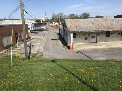 A hardworking past and a promising future A hardworking past and a promising future The land would become the town of Desota, distinctively separate from Rome which was growing across the river. Through the tenure and demise of Desota, this land was inhabited by gritty, hardy people. Homes in the area were built on six foot tall masonry piers to keep them above the floodwaters. Loggers floated felled trees down the river to a sawmill that produced lumber. The sawmill work helped earn a section of this area the nickname "Beaverslide." Even after Rome annexed the land it remained a blue collar area. The levee opened the area for wider development. Welders, machinists, mechanics, buggy makers, glaziers, and electricians, just to name a few, all based their businesses here. Calloused hands fabricated, assembled, repaired, or re-purposed the items that made life possible. And in an old barn, the renowned artist Robert Redden opened his studio. Now this area, with its history of craftsmanship, is being touted as an arts district. This is the inspiration for a new campaign that has developers, investors, artists, and entrepreneurs moving in and establishing their businesses. Dubbed "The River District," this area is now the location of a flurry of activity. Long-concealed windows are being reopened. Fresh paint is being applied. Long established blue collar businesses are getting new neighbors. There are already restaurants, a bar, a theatre company, a bakery. There are insurance and law offices. Such an eclectic mix of enterprises lays a foundation for a diverse economy. It also creates a staggered effect for parking in the district. Some businesses create a daytime demand while others need those spots in the evening. This effect also applies to employment meaning the district will be producing incomes, and therefore tax revenue, throughout the day and well into the night. Another development in the district could involve the addition of 200 residential units. Currently there are roughly a dozen residential units in the entire district. Adding residents to the district could change the entire dynamic. At least in recent years people have come here to work or do business. Employees and customers all lived elsewhere. Now this can be a place where, as the trendy adage goes, people can work, live, and play. The urban-mixed use zoning designation opens possibilities for different sorts of development. If the city leaders handle this district wisely, if they allow local artists and entrepreneurs to thrive there, if they copy the streetscape ideas that have been so successful across the river, this district with thrive and benefit the town and the people who live there. Many times I have cited the assertion of James Kunstler regarding defining space and creating places worth caring about. Building a well-defined and timeless public space will bring people in, therefore encouraging economic and cultural development. If they give in to trendy design ideas and the strip mall mentality, they will ruin the good things that are already going on there. The district will become ugly and dated in a matter of months. This is a potential win. This is where we could see historic preservation combined with new development built in a similar style come together to give birth to the economic and cultural future. Two beautiful and tastefully developed sides of the river, connected by bridges and a long-established trail system could double the size and impact of downtown without the destructive and ugly sprawl that has ruined so many other cities, particularly in North Georgia. Special thanks to Selena Tilly of the Rome Area History Center and also to Brice Wood and Artagus Newell of the Rome-Floyd County Planning Department for providing essential information for this story.
1 Comment
Tammy Parson
4/18/2021 06:57:42 am
Great article. As a newbie it answered a lot of questions that I’ve had about that area. It also confirmed to me that the bridge needs to remain a bridge and not be used for additional parking. It’s a short stroll from the parking decks Rome already has constructed. If this is truly about a growing, flourishing area then invest the funds and build a small two story parking deck beside the Marriott to keep from messing up the view.
Reply
Leave a Reply. |
Sam B.Historian, self-proclaimed gentleman, agrarian-at-heart, & curator extraordinaire Social MediaCategories
All
Archives
November 2022
|


 RSS Feed
